Reise-Karte der östl. Karibik inkl. Fotos, hilfreiche Informationen zu jeder Insel: Domenikanische Republik, Haiti, Puerto Rico, Trinidad und Tobago, Virgin Islands, und the islands of the Lesser Antilles; wichtige Bootsfahrt-Infos, Nebenkarten von Charlotte Amalie, U.S. Virgin Islands und Old San Juan, Puerto Rico, uvm.
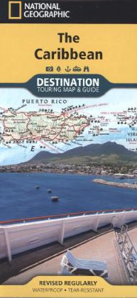
National Geographic's Caribbean Destination Map strikes the perfect balance between map and guidebook and is ideal for a wide range of travelers. The map includes a detailed road network and important travel information including National Parks and protected areas, airports, cruise ports, beaches, historic sites and ruins, and sites for recreation activities including diving, surfing, sailing, and golfing. The Caribbean Destination Map is printed on durable, waterproof and tear-resistant material.