Zustellung: Mo, 04.08. - Fr, 08.08.
Versand in 2 Wochen
VersandkostenfreiBestellen & in Filiale abholen:
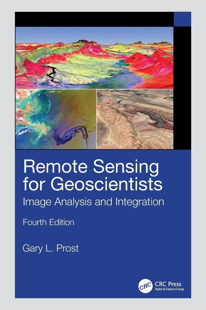
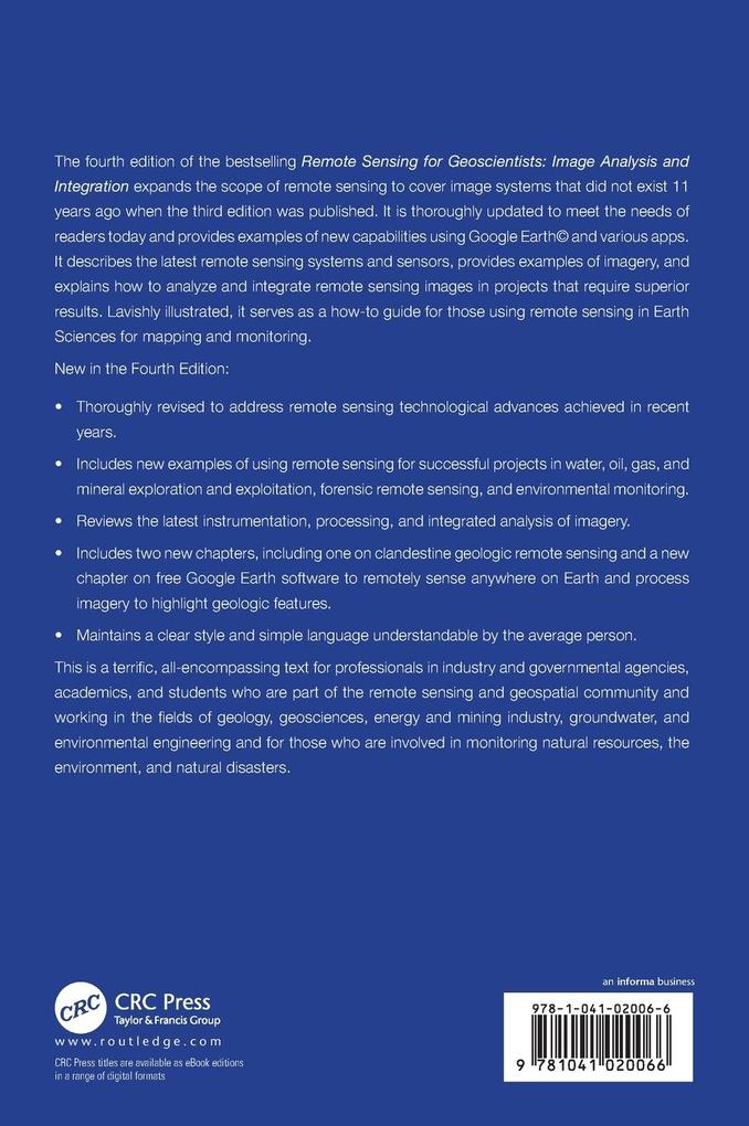
The new edition of the bestselling Remote Sensing for Geoscientists: Image Analysis and Integration expands the scope of remote sensing to cover image systems that did not exist 10 years ago when the third edition was published. It is thoroughly updated and provides examples of new capabilities using Google Earth(c) and various apps.
Inhaltsverzeichnis
Section 1: Initiating Projects. 1. Project Flow and Obtaining Data. 2. Photointerpretation Tools and Techniques. 3. Remote Sensing Systems. Section 2: Remote Sensing in Geological Mapping and Resource Exploration. 4. Recognizing Rock Types. 5. Recognizing Structure. 6. Stratigraphic and Compositional Mapping. 7. Remote Geochemistry. 8. Modern Analogs. 9. Remote Sensing in Petroleum Exploration. 10. Remote Sensing in Mineral Exploration. Section 3: Exploitation, Hydrologic, and Engineering Remote Sensing. 11. Remote Sensing in Resource Exploration Projects. 12. Hydrology. 13. Logistics and Engineering. Section 4: Environmental Remote Sensing. 14. Environmental Baselines and Monitoring. 15. Geobotanical Remote Sensing. 16. Natural Disasters, Environmental Hazards, and Global Warming. Section 5: Astrogeology. 17. Mapping Planetary Structure. 18. Planetary Geologic Processes, Composition, and Stratigraphy. 19. Planetary Resources. Section 6: Remote Sensing, Geoscience, and Society. 20. Public Relations, the Media, and the Law. 21. Geographic Information Systems and Online Remote Sensing Resources. 22. Military and Clandestine Geologic Remote Sensing. 23. Geologic Remote Sensing in the Age of Google Earth. 24. Closing Thoughts.
Produktdetails
Erscheinungsdatum
16. Juni 2025
Sprache
englisch
Auflage
4th edition
Seitenanzahl
666
Autor/Autorin
Gary L Prost
Verlag/Hersteller
Produktart
gebunden
Gewicht
1402 g
Größe (L/B/H)
254/178/37 mm
ISBN
9781041020066
Entdecken Sie mehr
Bewertungen
0 Bewertungen
Es wurden noch keine Bewertungen abgegeben. Schreiben Sie die erste Bewertung zu "Remote Sensing for Geoscientists" und helfen Sie damit anderen bei der Kaufentscheidung.


