Bücher versandkostenfrei*100 Tage RückgaberechtAbholung in der Wunschfiliale


Ihr Gutschein zum Schulstart: 15% Rabatt11 auf Kalender & Schreibwaren mit dem Code DATUM15
Jetzt einlösen
mehr erfahren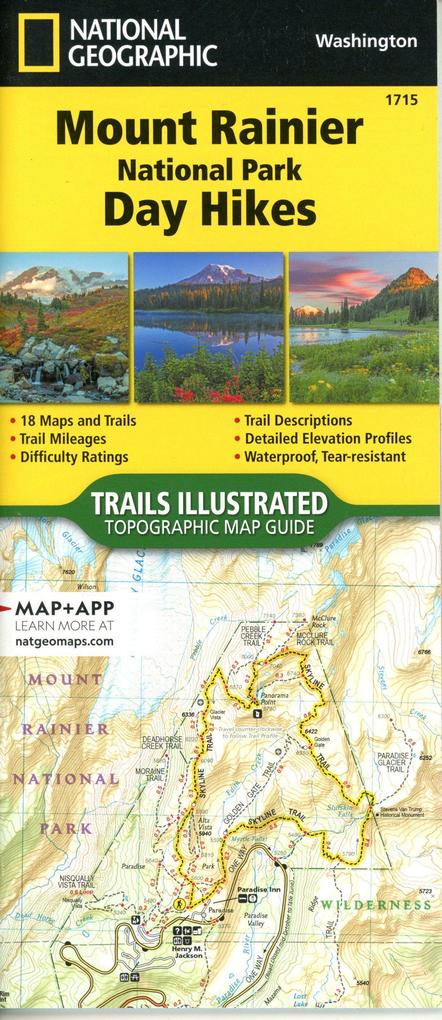
Zustellung: Do, 11.09. - Sa, 13.09.
Sofort lieferbar
VersandkostenfreiBestellen & in Filiale abholen:
- Waterproof - Tear-Resistant - Topographic Map
In 1899, Mount Rainier became the fifth national park and the first to be established after the Forest Reserve Act of 1891 that created the U.S. Forest Service. An active volcano towering 14,410 feet above sea level, Mount Rainier is the tallest and most iconic feature in the state of Washington. From massive glaciers, stunning wildflower-covered subalpine meadows, and large stands of old-growth forests the beauty of this park is undeniable. And, with so many spectacular historical and natural resources, scenic views, and recreational opportunities, Mount Rainier has something for everyone.
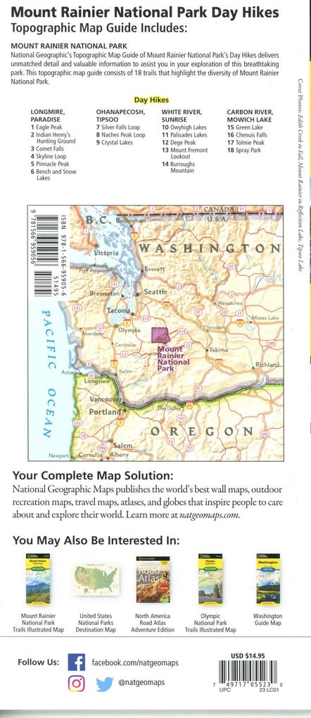
The Mount Rainier National Park Day Hikes Topographic Map Guide contains detailed maps for 18 of Mount Rainier's finest day hikes. It includes well-known hikes and some off-the-beaten-path trails. They range from easy strolls to strenuous climbs, selected to give you a sampling of all the park has to offer. Together, they cover more than 100 miles of adventures. One-third of the selected hikes are less than 6 miles long, two-thirds are less than 8 miles, and one hike is 13 miles long.
Each of the 18 maps include directions to the trailhead, the total distance to complete the hike, and an estimate of the degree of difficulty. Also provided are elevations of key points on the trail, an elevation profile for the hike, and a calculation of the hike's total elevation gain. Concise trail descriptions will help you find the hikes that best suit your interests, conditioning, and available time.
Every Trails Illustrated map is printed on "Backcountry Tough" waterproof, tear-resistant paper. A full UTM grid is printed on the map to aid with GPS navigation. Every map purchase helps support the National Geographic Society, an impact driven, nonprofit organization with global reach that uses the power of science, exploration, education, and storytelling to illuminate and protect the wonder of our world.
In 1899, Mount Rainier became the fifth national park and the first to be established after the Forest Reserve Act of 1891 that created the U.S. Forest Service. An active volcano towering 14,410 feet above sea level, Mount Rainier is the tallest and most iconic feature in the state of Washington. From massive glaciers, stunning wildflower-covered subalpine meadows, and large stands of old-growth forests the beauty of this park is undeniable. And, with so many spectacular historical and natural resources, scenic views, and recreational opportunities, Mount Rainier has something for everyone.
The Mount Rainier National Park Day Hikes Topographic Map Guide contains detailed maps for 18 of Mount Rainier's finest day hikes. It includes well-known hikes and some off-the-beaten-path trails. They range from easy strolls to strenuous climbs, selected to give you a sampling of all the park has to offer. Together, they cover more than 100 miles of adventures. One-third of the selected hikes are less than 6 miles long, two-thirds are less than 8 miles, and one hike is 13 miles long.
Each of the 18 maps include directions to the trailhead, the total distance to complete the hike, and an estimate of the degree of difficulty. Also provided are elevations of key points on the trail, an elevation profile for the hike, and a calculation of the hike's total elevation gain. Concise trail descriptions will help you find the hikes that best suit your interests, conditioning, and available time.
Every Trails Illustrated map is printed on "Backcountry Tough" waterproof, tear-resistant paper. A full UTM grid is printed on the map to aid with GPS navigation. Every map purchase helps support the National Geographic Society, an impact driven, nonprofit organization with global reach that uses the power of science, exploration, education, and storytelling to illuminate and protect the wonder of our world.
- Map Scale = 1:31,680
- Folded Size = 4.25" x 9.38"
Mehr aus dieser Reihe


Produktdetails
Erscheinungsdatum
20. Dezember 2023
Sprache
englisch
Auflage
Neuauflage
Seitenanzahl
48
Reihe
NGS National Parks US
Illustrationen
48 Maps; 48 Maps
Verlag/Hersteller
Produktart
Blätter und Karten
Abbildungen
48 Maps; 48 Maps
Maßstab
1:31680
Gewicht
89 g
Größe (L/B/H)
237/109/7 mm
ISBN
9781566959056
Entdecken Sie mehr
Bewertungen
0 Bewertungen
Es wurden noch keine Bewertungen abgegeben. Schreiben Sie die erste Bewertung zu "Mount Rainier National Park" und helfen Sie damit anderen bei der Kaufentscheidung.