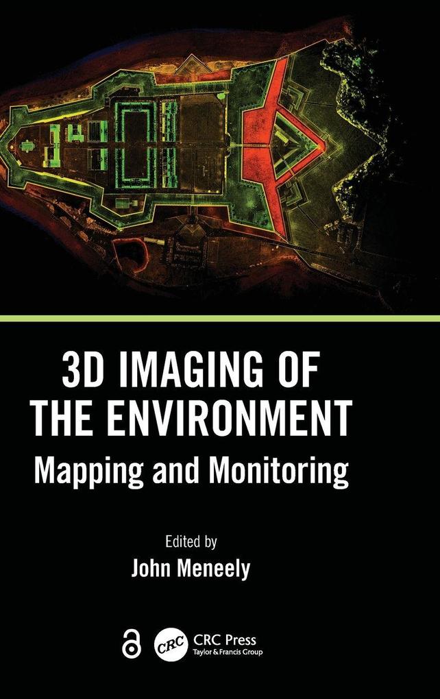
This book gives readers detailed explanations of the techniques used to map and monitor the built and natural environment and how that data, collected from a wide range of scales and cost options, is translated into an image or visual experience. It is written with technical, professional, and academic readers in mind.
Inhaltsverzeichnis
1. Digital Documentation and Digital Innovation in Practice. 2. Mapping the Urban Environment with a Handheld Mobile LiDAR System-A Case Study from the UrbanARK Project. 3. Using Drones to Map and Visualise Glacial Landscapes. 4. Laser Scanning of a Complex Cave System during Multiple Campaigns. 5. Digitizing Giant Skeletons with Handheld Scanning Technology for Research, Digital Reconstruction, and 3D Printing. 6. Mapping, Monitoring, and Visualising Stone Decay in the Urban Environment. 7. Unpiloted Airborne Laser Scanning of a Mixed Forest. 8. Digital Mapping and Recording of Inishtrahull Island and Its Built Heritage in 24 Hours. 9. CHERISH: Development of a Toolkit for the 3D Documentation and Analysis of the Marine and Coastal Historic Environment. 10. 3D in the Construction of a Full-Scale Replica of St. Patrick's Cross, Downpatrick. 11. Thermography Using Unmanned Aerial Vehicles. 12. Reconstruction of the Ballintaggart Court Tomb Using 3D Scanning, 3D Printing, and Augmented Reality (AR). 13. Terrestrial Laser Scanning for Monitoring and Modelling Coastal Dune Morphodynamics. 14. Creating a Virtual Reality Experience of Fingal's Cave, Isle of Staffa, Scotland.