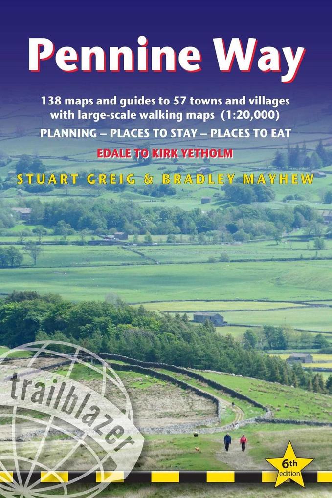
Britain's best-known National Trail winds for 253 miles through three National Parks – the Peak District, Yorkshire Dales and Northumberland. This superb footpath showcases Britain's finest upland scenery, while touching the literary landscape of the Brontë family and Roman history along Hadrian's Wall.
This all-in-one hiking route guide, maps and accommodations for the 253-mile Pennine Way, from England into Scotland. Includes 138 large-scale walking maps (3 1/8 inches to 1 mile); 12 town maps and 15 overview maps. Full details of all accommodations and campsites, restaurants and pubs; plus full public transport information. Includes day-walks.
- 12 town plans and 138 large-scale walking maps – at just under 1:20,000 – showing route times, places to stay, points of interest and much more
- Plus 15 overview maps
- Itineraries for all walkers – whether walking the route in its entirety over seven to eight days or sampling the highlights on day walks and short breaks
- Practical information for all budgets – camping, bunkhouses, hostels, B&Bs, pubs and hotels – where to stay, where to eat, what to see, plus detailed street plans
- Comprehensive public transport information – for all access points on the path.
- Flora and fauna – four page full color flower guide, plus an illustrated section on local wildlife
- Green hiking – understanding the local environment and minimizing our impact on it
- GPS waypoints. These are also downloadable from the Trailblazer website.
- Includes extra colour sections: 16pp colour introduction and 16pp of colour mapping for stage sections (one stage per page) with trail profiles.
- New style two-colour mapping
Inhaltsverzeichnis
INTRODUCTION - PART 1: PLANNING YOUR WALK 1.1 About the Pennine Way,
History - How difficult is the Pennine Way? (route finding) - How long do you need?
1.2Practical information for the walker Accommodation (camping, bunkhouses and hostels, bed and breakfast) - Food and drink (drinking water, buying camping supplies, pubs) (Aside: Beer) - Money - Other services - Walking companies (accommodation booking, baggage carriers, self-guided holidays, group/guided walking tours) 1.3Budgeting Camping - Bunkhouses and hostels - B&Bs - Extras (Aside: Information for foreign visitors) 1.4When to go Seasons (spring, summer, autumn, winter) - Temperature - Rainfall - Daylight hours 1.5 Itineraries and Planning map - Which direction? - Village and town facilities - Suggested itineraries (Asides: Highlights of the Pennine Way - the best day and weekend walks; Walking with dogs)1.6What to take Keep it light - How to carry it - Footwear (boots, socks, extra footwear) - Clothes (Aside: Cheaper alternatives) - Toiletries - First aid kit (Aside - Mountain rescue) - General items - Sleeping bag - Camping gear - Travel insurance - Maps - Recommended reading (general guidebooks, flora and fauna field guides) 1.7Getting to and from the Pennine Way (Aside: Getting to Britain) National transport (rail, coach, car, air) - Local transport - Public transport map1.8Further information Trail information - National Parks - Tourist information - Organisations for walkers
PART 2: THE NATURE OF THE PENNINE WAY 2.1 Flora and fauna Mammals - Reptiles - Birds (streams, rivers and lakes; woodland; moor, bog and grazing; buildings and cliffs) - Wild flowers, grasses and other plants (Aside: How do you identify a flower?) (bogs and wet areas; woodlands; higher areas; lower areas) (Asides: Why are flowers the colour they are; Orchids; Wild flowers) - Trees, woods and forests (oak and broadleaf woodlands; coniferous woodland (Aside: The Forestry Commission)2.2 Conserving the nature of the Pennines Government agencies and schemes - Voluntary organisations - Beyond conservation
PART 3: MINIMUM IMPACT WALKING3.1Economic impact Buy local (Aside: Food for thought) - Support local businesses - Encourage local cultural traditions and skills (Aside: The state of the farmed countryside) 3.2Environmental impact Use public transport whenever possible --Never leave litter (Aside- The lasting impact of litter) - Erosion - Respect all wildlife - Outdoor toiletry - Wild camping (Aside - Your ecological footprint) 3.3Access Right to roam - Rights of way (Aside: National Parks and the honey pot issue) - Waymarking - The Country Code - Lambing - Grouse shooting
PART 4: THE PENNINE WAY - EDALE TO KIRK YETHOLM Trail maps Scale and walking times - Up or down? - Accommodation - Other features Edale to Crowden (Asides: Kinder Scout; Trans-Pennine Trail)Crowden to StandedgeStandedge to the Calder Valley (for Hebden Bridge)(Aside: Stoodley Pike)Calder Valley to Ponden(Aside: The Brontes of Haworth) Ponden to Thornton-in-Craven Thornton-in-Craven to Malham, Malham to Horton-in-Ribblesdale (Asides: Fountains Fell; Fell running) Horton-in-Ribblesdale to Hawes (Aside: Packhorse roads) Hawes to Keld(Aside: Field Barns) Keld to Tan HillTan Hill to Baldersdale(Asides: Hannah Hauxwell; Hannah's meadow) Baldersdale to Langdon Beck (Asides: High Force; Black Grouse) Langdon Beck to Dufton (Aside: High Cup) Dufton to Garrigill to Alston (Asides: Greg's Hut; Lead mining in the Pennines) Alston to Greenhead Greenhead to Once Brewed (Asides: Thirlwall Castle; Hadrian's Wall) Once Brewed to Bellingham Bellingham to Byrness Byrness to Kirk Yetholm (Aside: St Cuthbert's Way)
APPENDIX: OUTDOOR SAFETY AND HEALTH Avoidance of hazards - Mountain safety - Weather forecasts - Water - Biting insects - Hypothermia - Dealing with an accident