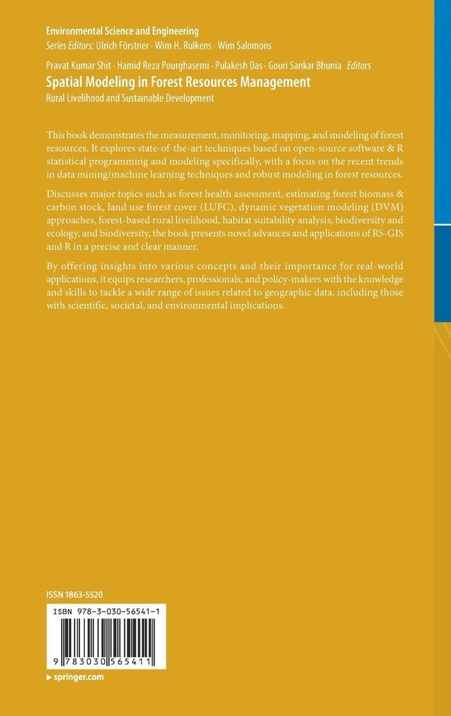
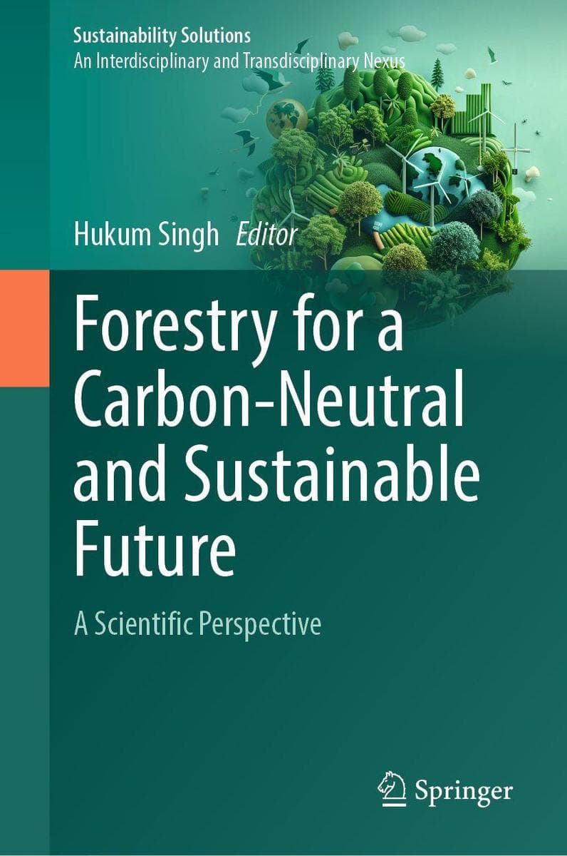
This book demonstrates the measurement, monitoring, mapping, and modeling of forest resources. It explores state-of-the-art techniques based on open-source software & R statistical programming and modeling specifically, with a focus on the recent trends in data mining/machine learning techniques and robust modeling in forest resources.
Discusses major topics such as forest health assessment, estimating forest biomass & carbon stock, land use forest cover (LUFC), dynamic vegetation modeling (DVM) approaches, forest-based rural livelihood, habitat suitability analysis, biodiversity and ecology, and biodiversity, the book presents novel advances and applications of RS-GIS and R in a precise and clear manner.
By offering insights into various concepts and their importance for real-world applications, it equips researchers, professionals, and policy-makers with the knowledge and skills to tackle a wide range of issues related to geographic data, including those with scientific, societal, and environmental implications.
Inhaltsverzeichnis
Forest Resources Measurement, Monitoring and Mapping. - Application of RS-GIS-R for forest resources assessment, monitoring, and modeling. - Assessment and measurement of forest resources for sustainable land use planning. - Species diversity mapping and modeling. - Afforestation. - Soil-Water-Vegetation Relationship. - Modeling, Risk Assessment, and Vulnerability. - Forest biomass and carbon stock modeling. - Remote sensing based deforestation analysis. - Forest and habitats suitability analysis. - Habitats and species modeling. - Google Earth Engine and its application in forest sciences. - Rural livelihood and Sustainable Management. - The role of timber and non-timber forest products in poverty reduction. - The role of communities in sustainable land and forest management. - Politics of co-optation: community forest management versus joint forest management. - Open source satellite data and GIS for forest resources mapping and monitoring. - Recent trends in forest resources management and land useplanning.