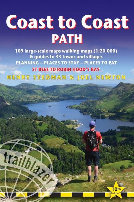
All-in-one hiking route guide, route maps and accommodations for this classic 191-mile walk across northern England from the Irish Sea to the North Sea, inspired by Alfred Wainwright. Includes 109 large-scale maps (3 1/8 inches to 1 mile); 10 town plans and 14 overview maps. Full details of all accommodations and campsites, restaurants and pubs; plus full public transport information. Includes day-walks.
Inhaltsverzeichnis
INTRODUCTION
About the Coast to Coast path
Wainwright's Coast to Coast path 9
How difficult is the Coast to Coast path? 11
How long do you need? 13 – When to go 14
PART 1: PLANNING YOUR WALK
Practical information for the walker
GPS 17 – Accommodation 19 – Information for foreign visitors 22 Food and drink 25 – Money 27 – Internet access 28 – Other services 28
Walking companies 28 – Walking with a dog 31
Budgeting 32
Itineraries
Which direction? 33 – Suggested itineraries 34
Village and town facilities 36 – Side trips 38 – Day walks 38
What to take
Travelling light 40 – How to carry it 41 – Footwear 41 – Clothes 42
Toiletries 43 – First-aid kit 44 – General items 44 – Sleeping bag and
camping gear 44 – Money 45 – Maps 45 – Recommended reading 47
Sources of further information 48
Getting to and from the Coast to Coast path
National transport 50 – Getting to Britain 51 – Local transport 52
Public transport map 53
PART 2: THE ENVIRONMENT & NATURE
Conserving the Coast to Coast path
Government agencies and schemes 57 – Campaigning and
conservation organisations 59 – Beyond conservation 60
Flora and fauna
Mammals 61 – Birds 62 – Reptiles 65 – Flowers 65 – Trees 68
PART 3: MINIMUM IMPACT WALKING
& OUTDOOR SAFETY
Minimum impact walking
Environmental impact 77 – Access 79
Outdoor safety
Avoidance of hazards 80 – Weather forecasts 81 – Blisters 82
Hypothermia 82 – Hyperthermia 82 – Sunburn 83
Collapse of morale 83
PART 4: ROUTE GUIDE & MAPS
Using the guide 84
St Bees 85
Stage 1: St Bees to Ennerdale Bridge 91
(Moor Row 96 – Cleator 96 – Ennerdale Bridge 100)
Stage 2: Ennerdale Bridge to Borrowdale 102 (The Red Pike, High Stile & Hay Stacks route 109 – Seatoller 114 – Borrowdale 115)
Stage 3: Borrowdale to Grasmere 118 (The ridge-walk alternative to Grasmere via Helm Crag 119 – Easedale 122 – Grasmere 123)
Stage 4: Grasmere to Patterdale 128 (The high-level options: Helvellyn & Striding Edge 130; St Sunday Crag 130 – Patterdale 134 Ullswater and Glenridding 136)
Stage 5: Patterdale to Shap 138 (Bampton 144 – Shap 146)
Stage 6: Shap to Kirkby Stephen 148
(Orton 150 – Newbiggin-on-Lune 155 – Kirkby Stephen 160)
Stage 7: Kirkby Stephen to Keld 164
(The three routes over the moors 167 – Keld 174 – Thwaite 175)
Stage 8: Keld to Reeth 176
(Swaledale Valley alternative: Muker 184 – Reeth 188)
Stage 9: Reeth to Richmond 191 (Richmond 198)
Stage 10: Richmond to Ingleby Cross 204
(Colburn, Catterick Bridge & Brompton-on-Swale 205
Danby Wiske 212 – Oaktree Hill 214 – Ingleby Cross & Ingleby Arncliffe 214 – Osmotherley 220)
Stage 11: Ingleby Cross to Blakey Ridge 221 (Urra 229
Chop Gate 229 – Great Broughton 229 – Blakey Ridge 234)
Stage 12: Blakey Ridge to Grosmont 234
(Glaisdale 236 – Egton Bridge 241 – Grosmont 242)
Stage 13: Grosmont to Robin Hood's Bay 245
(Littlebeck 248 – High Hawsker 250 – Robin Hood's Bay 254)
APPENDICES
Map keys 258 – Taking a dog 259 – GPS Waypoints 261
INDEX 265 – Old Norse names 268
OVERVIEW MAPS & PROFILES 270