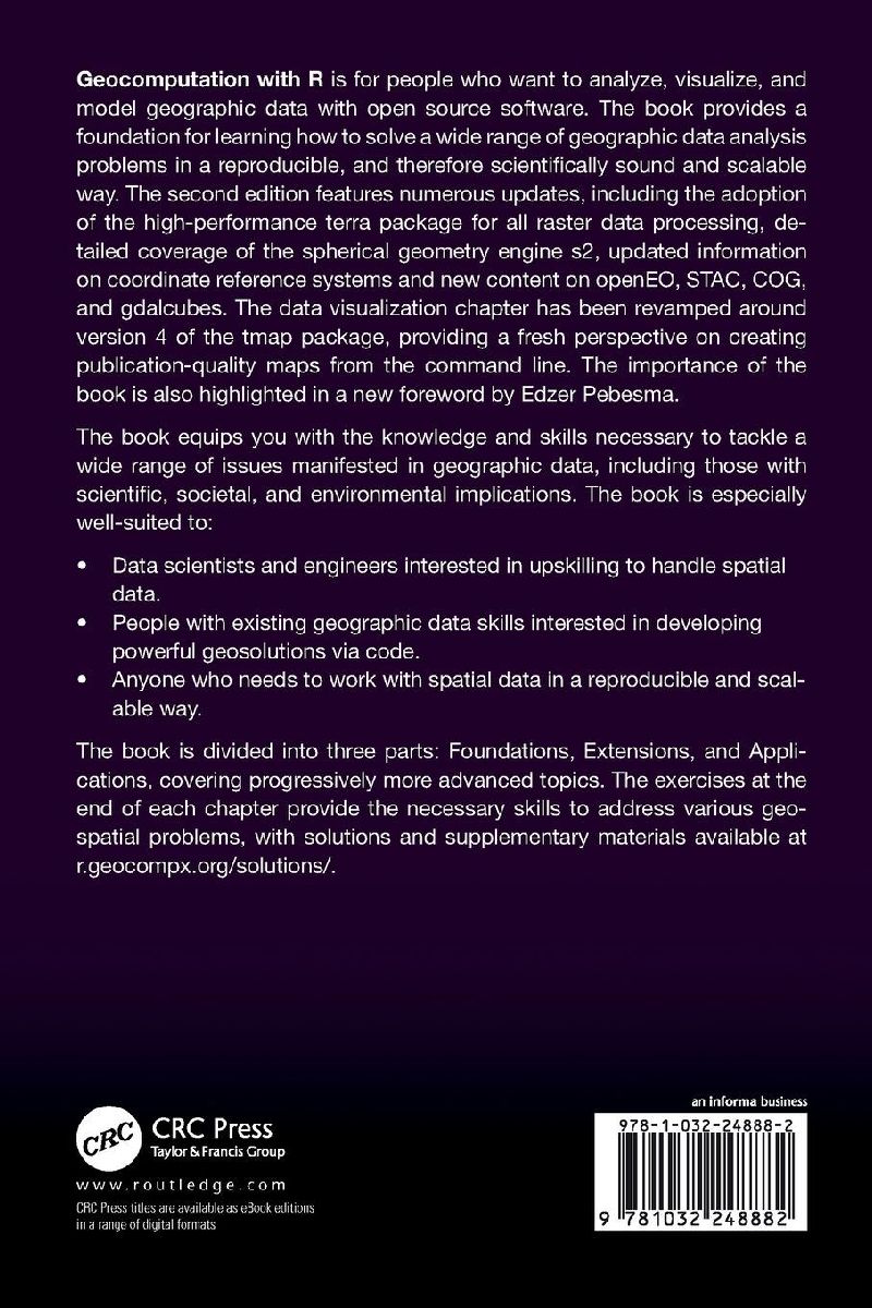
Geocomputation with R is for people who want to analyze, visualize, and model geographic data with open source software. The second edition features numerous updates, including the adoption of the high-performance terra package for all raster data processing.
Inhaltsverzeichnis
Foreword (2nd Edition) Preface 1. Introduction 2. Geographic data in R 3. Attribute data operations 4. Spatial data operations 5. Geometry operations 6. Raster-vector interactions 7. Reprojecting geographic data 8. Geographic data I/O Part 1: Foundations 9. Making maps with R 10. Bridges to GIS software 11. Scripts, algorithms and functions 12. Statistical learning Part 2: Extensions 13. Transportation 14. Geomarketing 15. Ecology 16. Conclusion Bibliography Index