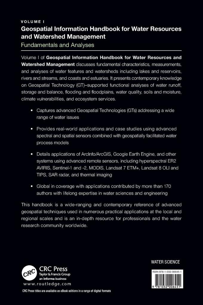
Volume I discusses fundamental characteristics, measurements and analyses of water features and watersheds including lakes and reservoirs, rivers and streams, and coasts and estuaries. This is the most comprehensive reference for the water research community worldwide.
Inhaltsverzeichnis
1. Introduction to Volume I of the Water Geospatial Handbook, 2. Introduction to Volume I, 3. Large-Scale Mapping and Monitoring Inland Waters by Google Earth Engine and Remote Sensing Techniques, 4. Identification of Potential Runoff Storage Zones within Watersheds, 5. Flood Risk Zone Mapping Using a Rational Model in Highly Weathered Nitisols of Southeastern Nigeria, 6. Morphometric Indicators-Based Flood Vulnerability Assessment of Upper Satluj Basin, Western Himalayas, India, 7. Remote Sensing Measures of Sandbars along the Shoreline of Sonadia Island, Bangladesh, 1972-2006, 8. Integrated Soil Fertility Management for Climate Change Mitigation and Agricultural Sustainability, 9. Monitoring Common Agricultural Cropping Across the US and Canadian Laurentian Great Lakes Basin Watershed Using MODIS-NDVI Data, 10. SWAT Modeling of Sediment Yields for Selected Watersheds in the Laurentian Great Lakes Basin, 11. Temporal Downscaling of Daily to Minute Interval Precipitation by Emulator Modeling-Based Genetic Optimization